Sabi Sand Echo System
Sabi Sand Game Reserve, South Africa
Sabi Sand Echo System
Sabi Sand Game Reserve, South Africa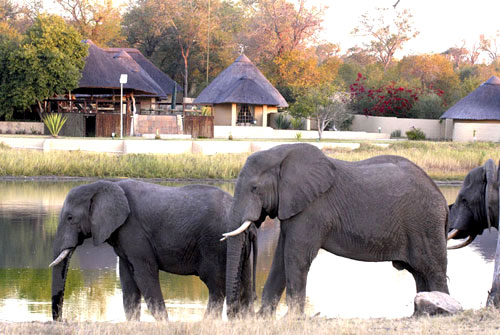
Arathusa Safari Lodge
Chitwa Chitwa Game Lodge
Djuma Game Reserve - Vuyatela
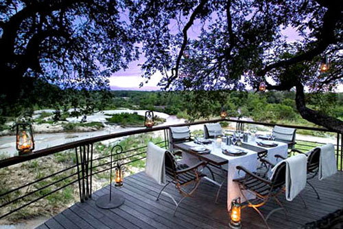
Exeter - Kirkman's Kamp
Rhino Ridge Safari Lodge
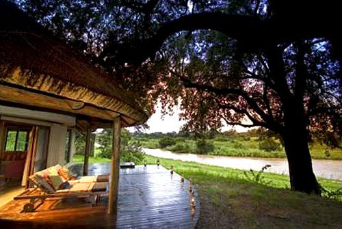
Exeter - River Lodge
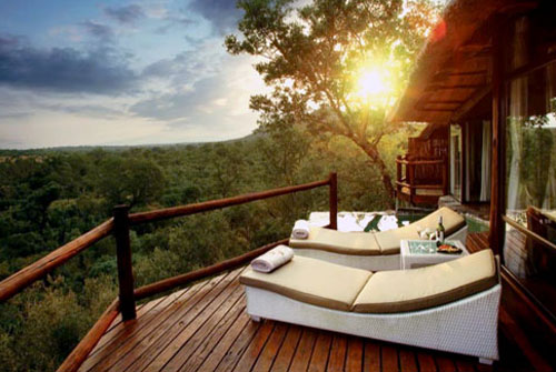
Leopard Hills Private Game Reserve
Leopard Hills Private Game Reserve
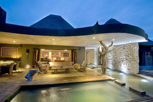
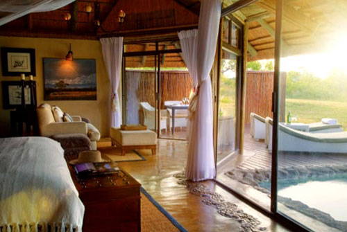
Lion Sands - 1933 Lodge
Lion Sands - 1933 Lodge
Lion Sands - Ivory Lodge
Lion Sands - River Lodge
Londolozi - Founder's Camp
Lion Sands - River Lodge
Londolozi - Granite Suites
Londolozi - Granite Suites
Londolozi - Pioneer Camp
Londolozi - Tree Camp
Mala Mala - Main Camp
The Rattray's on Mala Mala Camp
Mala Mala - Sable Camp
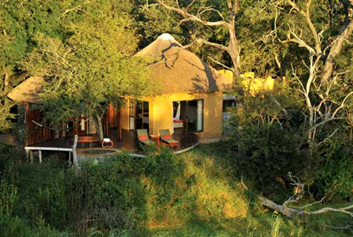
Nkorho Bush Lodge
Nkorho Bush Lodge
Notten's Bush Camp
Sabi Sabi - Bush Lodge
Sabi Sabi - Earth Camp
Sabi Sabi - Earth Camp
Sabi Sabi - Selati Camp
Simbambili Game Lodge
Simbambili Game Lodge
Singita - Boulders Lodge
Singita - Boulders Lodge
Singita - Ebony Lodge
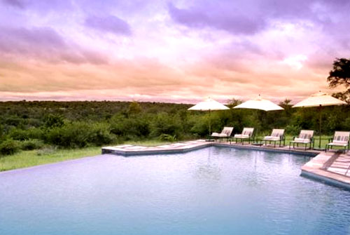
Ulusaba Private Game Reserve
Ulusaba Private Game Reserve
The escarpment and Malelane Mountains in the West and the Lebombo mountains in the East, were the most resistant to the forces of erosion by wind, rain and rivers. They therefore maintained a higher altitude than the rest of the Lowveld of the Sabi Sands biome.
Sabie Sands Geology
The most ancient rocks are older that 3 500 million years. The most common of these are Granite/Gneiss with intrusions of Gabbro. As a result of a wet marshy period (about 300 - 200 million years ago), Ecca Shales were laid down on the Granite/Gneiss and Giabbro base.
The huge primitive Gondwanaland continent started breaking up about 200 million years ago. This break-up was caused by volcanic activity and tectonic movement. Molten rock burst through the crusts of the earth to form layers of Basalt. Further volcanic activity led to Rhyolite being laid down on top of the Basalt (about 180 million years ago). With the breaking up of Gondwanaland, the original flat beds of Granite/Gneiss, Ecca Shales, Basalt and Rhyolite split apart (about 135 million years ago). The eastern half of Southern Africa tilted towards the sea to the east. As the new continental edge and coastline of South East Africa developed, many of the present land-shapes and ecosystems of KNP had their beginning.
Sabie Sands Altitude and Rainfall
Each Ecozone is an area with its own geology, rainfall, altitude and land-shape. The KNP is generally flat to undulating, with the central region averaging 260M above sea level. The only higher areas are the Lebombo Mountains in the east, the hills near Punda Maria in the north and the Malelane Mountains in the south. Khandzalive (near Malelane) is the highest point at 839M above sea level.
The KNP is a summer rainfall area (September to March), with an overall average of 500 mm per annum. The rain is often in the form of thunder-storms.
Rainfall generally decreases from the south to the north, and from the west to the east with Pafuri having the lowest average (40 mm p.a.). Pretoriuskop (740 mm p.a.) and Punda Maria (600 mm p.a.) are the highest rainfall areas.

![]()